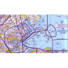
Southern England & Wales Chart Ed 42
Click Image for Gallery
Southern England and Wales 1:500 000 Ed. 42, ***RELEASED 04/02/2016***
CAA/NATS 1:500 000 aeronautical chart for visual navigation. ICAO-specification VFR topographical chart, updated annually.
- Topographical features above 500ft AMSL depicted
- Obstacles above 300ft AGL depicted
- Airspace information depicted to FL195
This chart is no longer supplied with the frequency reference card, however this is available to download free of charge on the NATS website.


