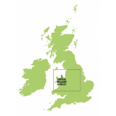
Sheet 5, Central England & Wales Chart Ed11
Click Image for Gallery
A CAA 1:250 000 VFR aeronautical chart ideal for visual navigation below 5000 feet. In 1:250 000 scale, this chart is based on the OS "Landranger" series with similar surface topographical detail.
Features:
- Controlled and Notified Airspace (Military & Civil) depicted to Altitude 5000ft or FL50.
- Terrain contours shown above 200ft AMSL
- Obstacles above 300ft AGL depicted
- Airfield ICAO idents
- Radio initial contact frequencies
Current edition: 11, released 23rd July 2015


