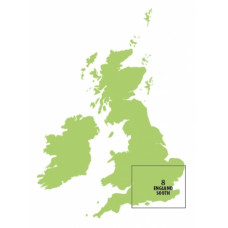
Sheet 8, England South Chart Ed20
Click Image for Gallery
Edition 20, released 31th March 2016
CAA 1:250 000 England South aeronautical VFR chart for visual navigation below 5000 feet. 1:250 000 scale, with detailed surface topographical detail based on Ordnance Survey charts. Particularly well suited to helicopter, microlight, glider and farm strip flying.
- Controlled Airspace (Military & Civil) is depicted to Alt 5000ft or FL50.
- Terrain contours shown above 200ft AMSL
- Obstacles shown above 300ft AGL
- Airfield ICAO idents
- Radio initial contact frequencies


